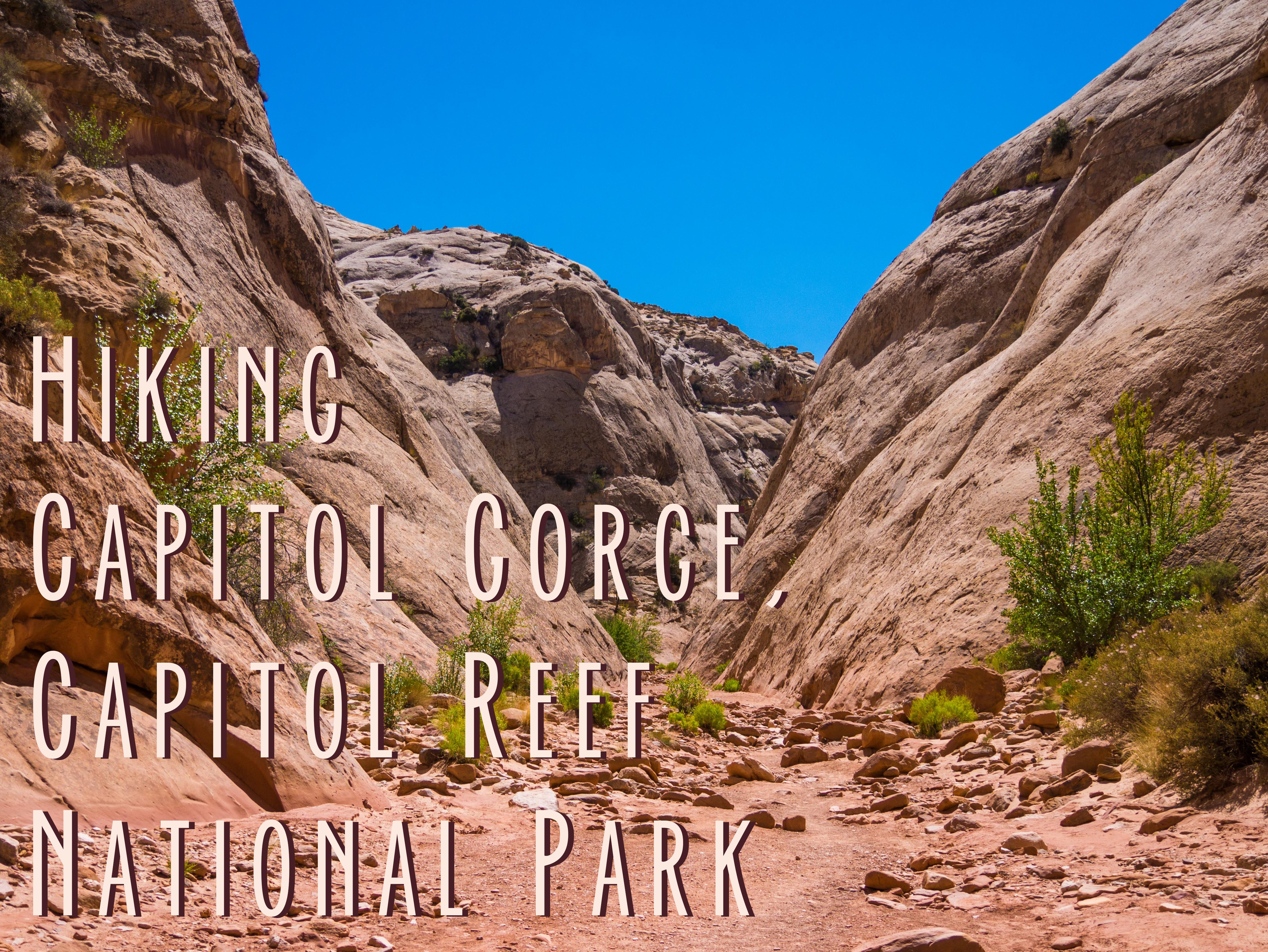
Capitol Reef may be the forgotten National Park of Utah because it is out of the way and by itself, but it is still full impressive sites and hidden history. One such place in the Capitol Gorge hike. A mostly flat hike with some optional rock scrambling at the end, it took us about two hours to complete.
How to Get to the Capitol Gorge Hike
Capitol Gorge is not the easiest hike to reach in Capitol Reef. From the visitor center you will take the Scenic Drive south all the way to where the pavement ends. When the pavement ends take the fork toward Capitol Gorge. You will then drive about 2.5 miles on a poorly maintained gravel and dirt road. 2.5 miles doesn’t seem like a lot until you are doing it on a bad road in a low clearance vehicle, so be prepared. There are some pretty narrow parts of the road where only one car can pass at a time.
The good news is that the dirt road is the most difficult part of the Capitol Gorge hike. The road will eventually terminate in the Capitol Gorge parking area. I don’t know what happens if the parking area is full, but we were able to find a spot without much trouble. Here, there is a pit toilet, a covered picnic area, and two trail heads. Make sure you get on the Capitol Gorge trail, unless you are looking for a strenuous hike up to the Golden Throne.
What You Will See on the Capitol Gorge Trail
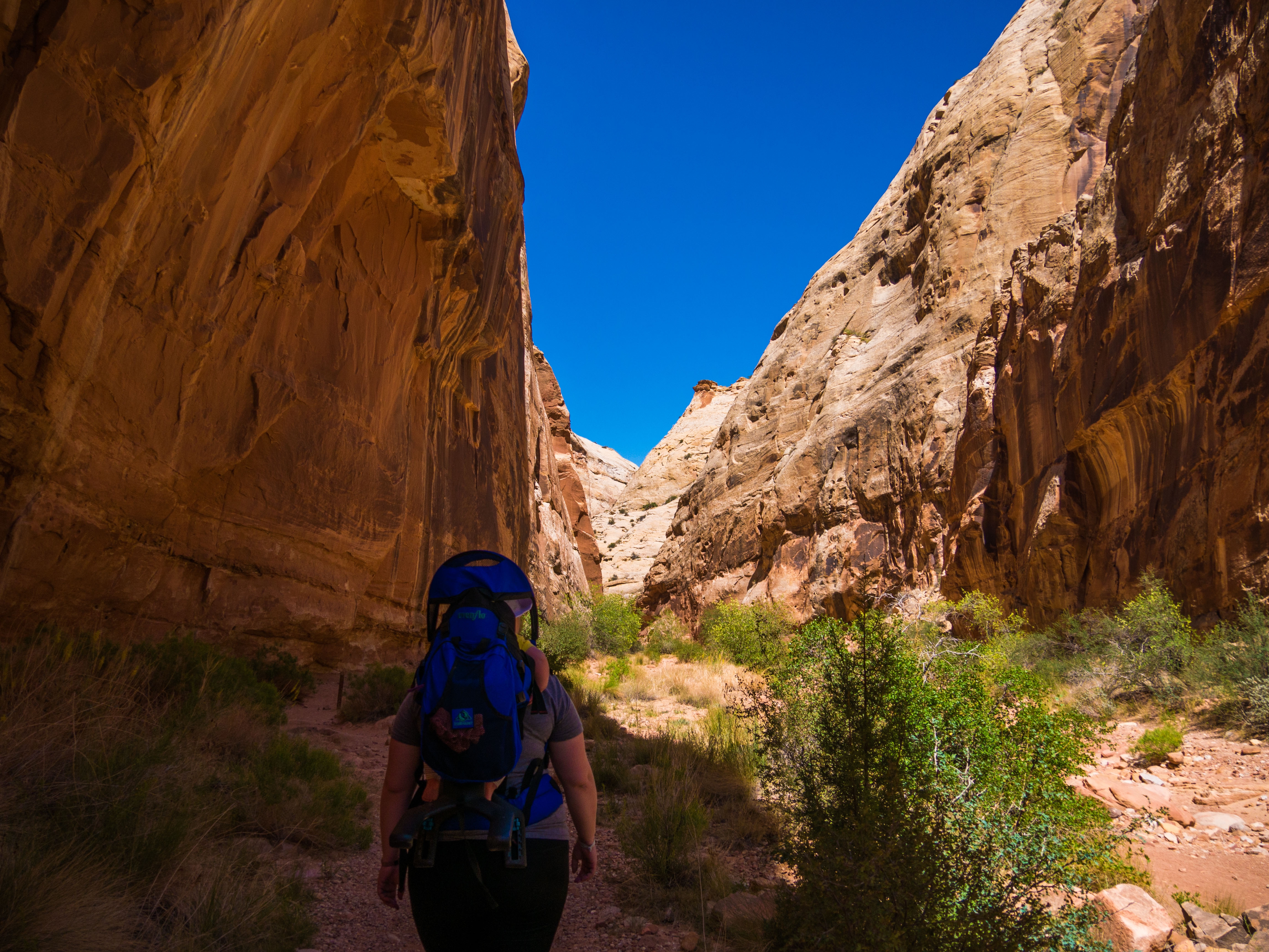
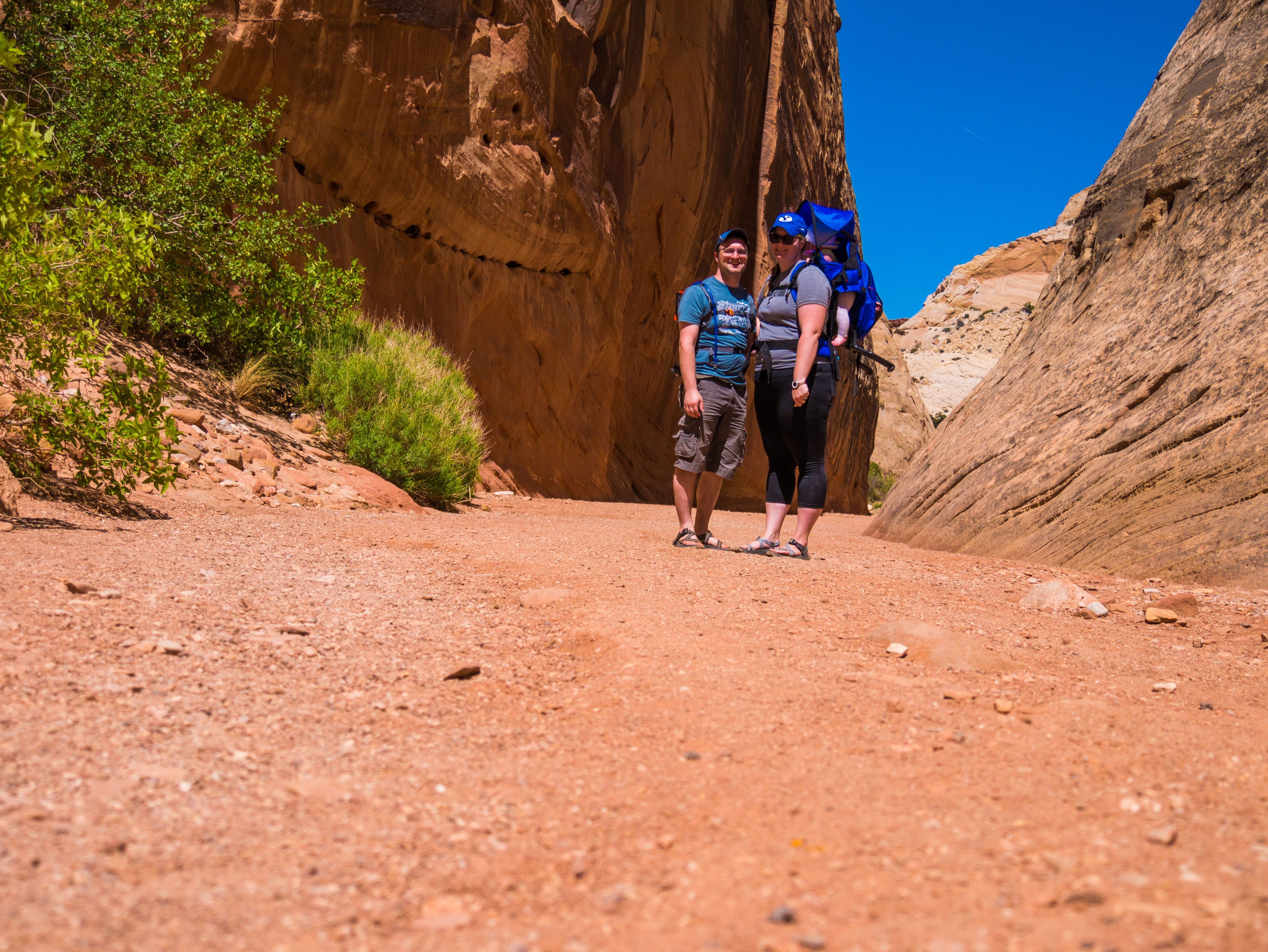
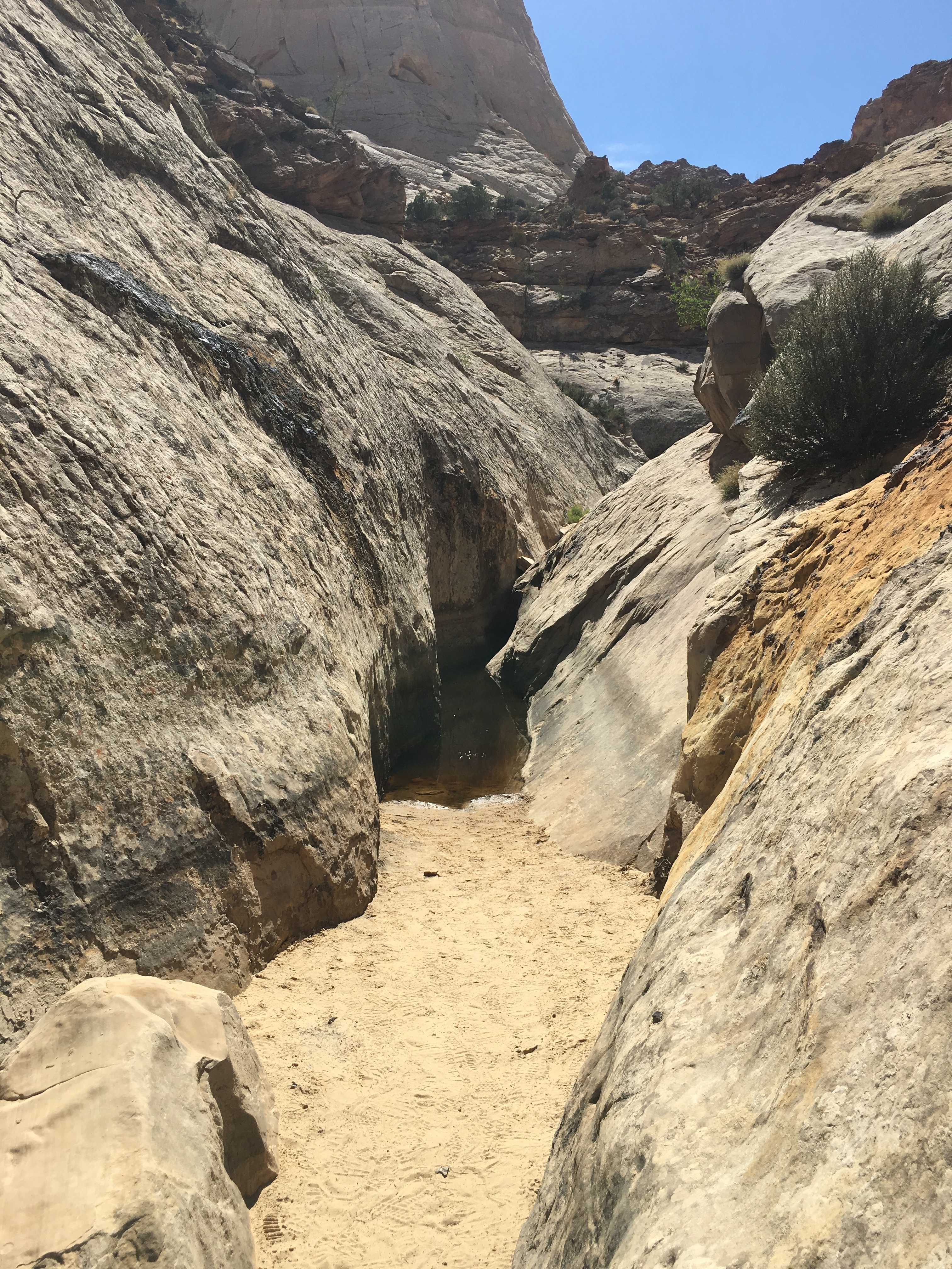
The trail through Capitol Gorge is a mostly flat and fairly wide slot canyon. You are generally hiking on sand, and there is no water running in it normally but during storms it can flash flood, so as always be aware of the weather. There are several attractions along the trail that make for an interesting hike.
Petroglyphs
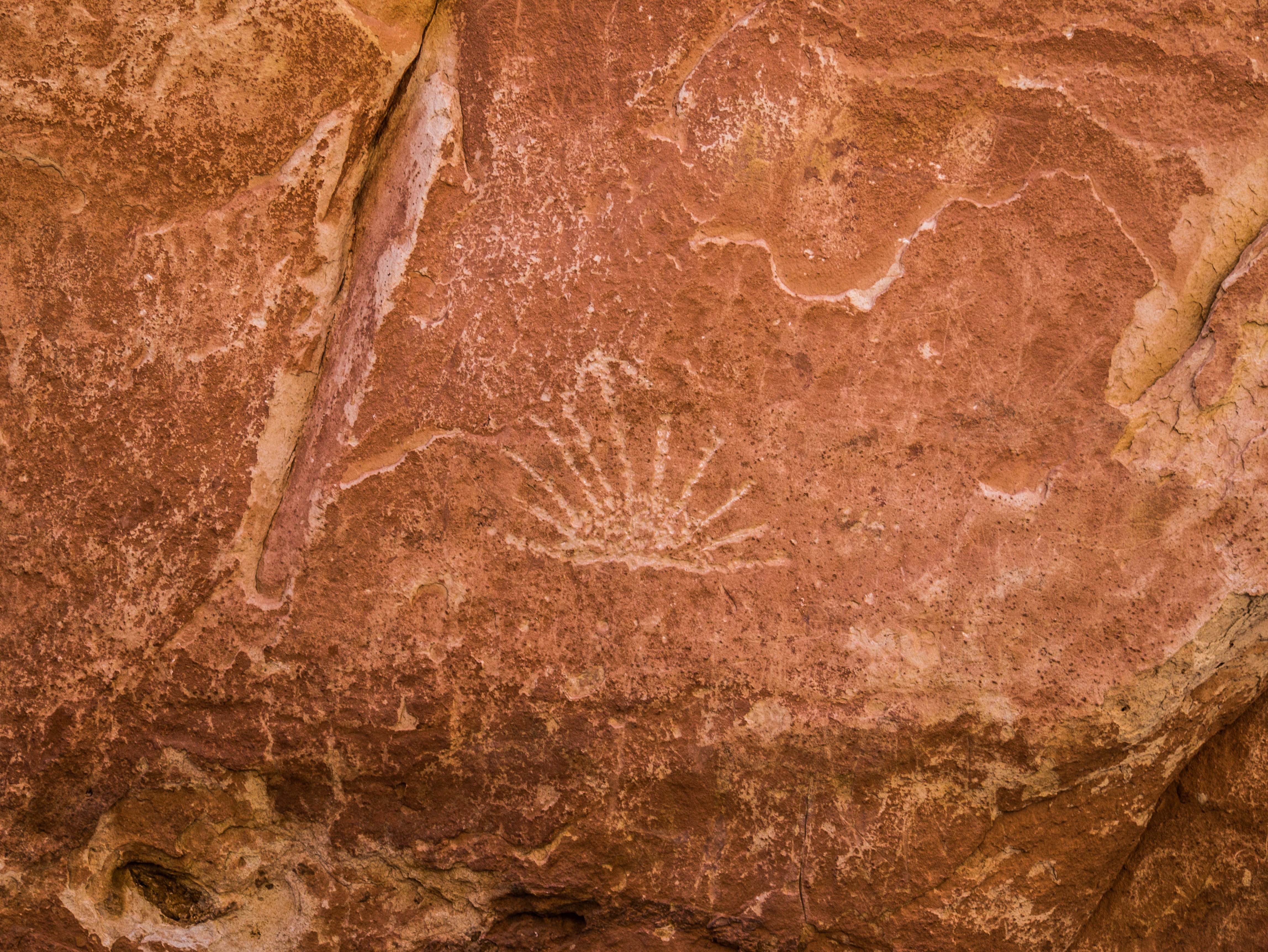
Very early on in the hike there will be some petroglyphs (rock art). It will be on your left and you want to watch for a little wooden sign. Once you see the sign look before the sign, not after it, for the petroglyphs, if you don’t look carefully you can easily miss them.
Pioneer Register
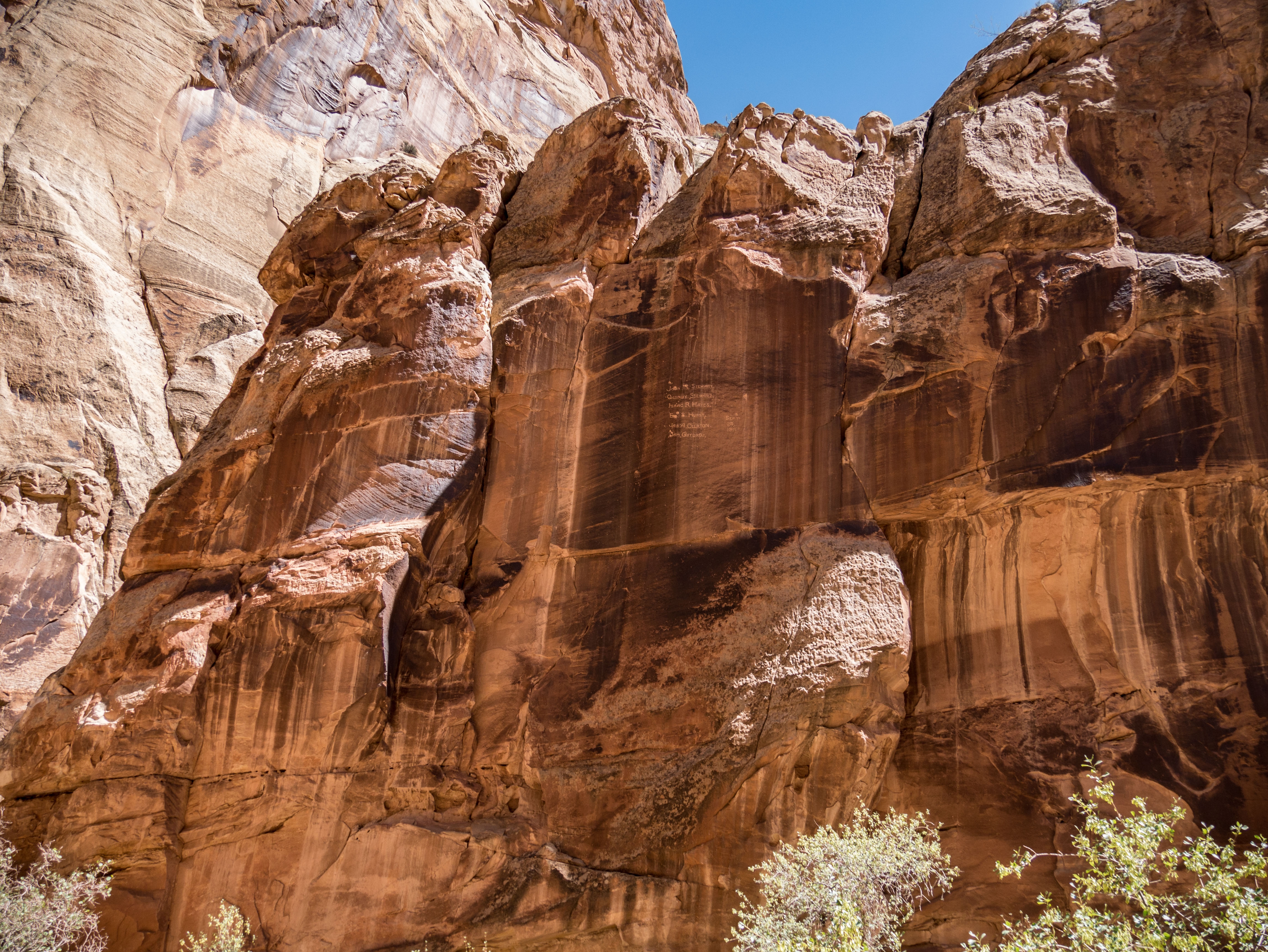
The early Mormon pioneers who came through Capitol Reef left their mark down in the gorge by recording their names and the year that they were there. While everyone likes to see art and names from ancient and old people they don’t like to see it from modern people, and unfortunately there has been a lot of modern graffiti on the gorge walls.
The Tanks
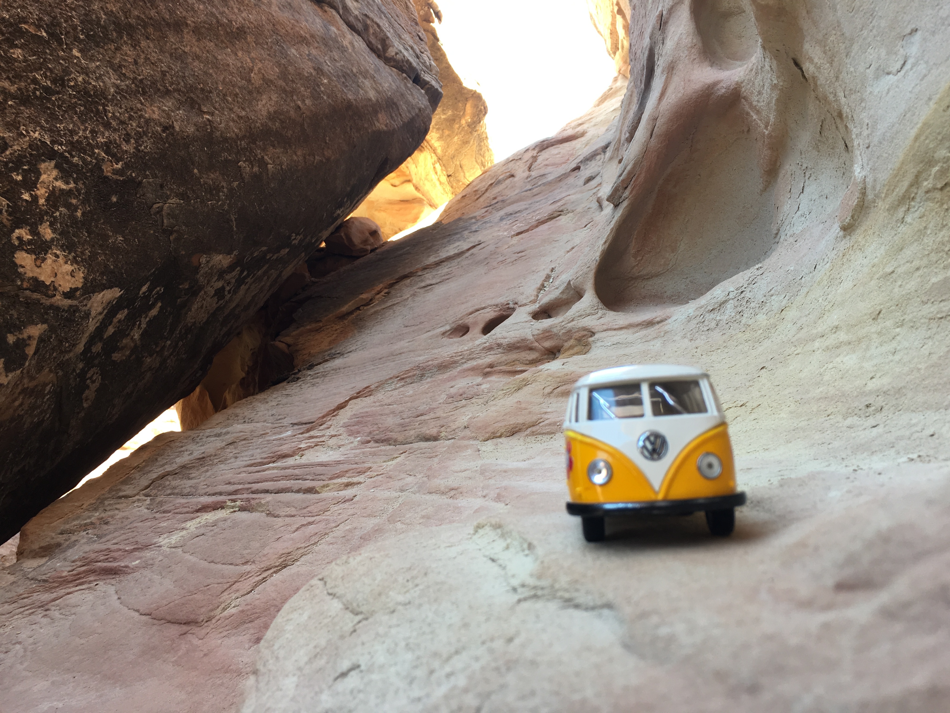
The trail will eventually terminate into some boulders and slick rock. A sign will point you up these to the Tanks. The Tanks are natural erosion depressions in the slick rock that sometimes hold water. I left Meagan and Lucy in the canyon shade at this point and pushed on alone. I got lost and wandered around for quite a while before finally following some other hikers to the tanks. To avoid my dilemma watch very closely for the rock cairns that mark the path and know that the trail will go up and then to the left when you are first starting.
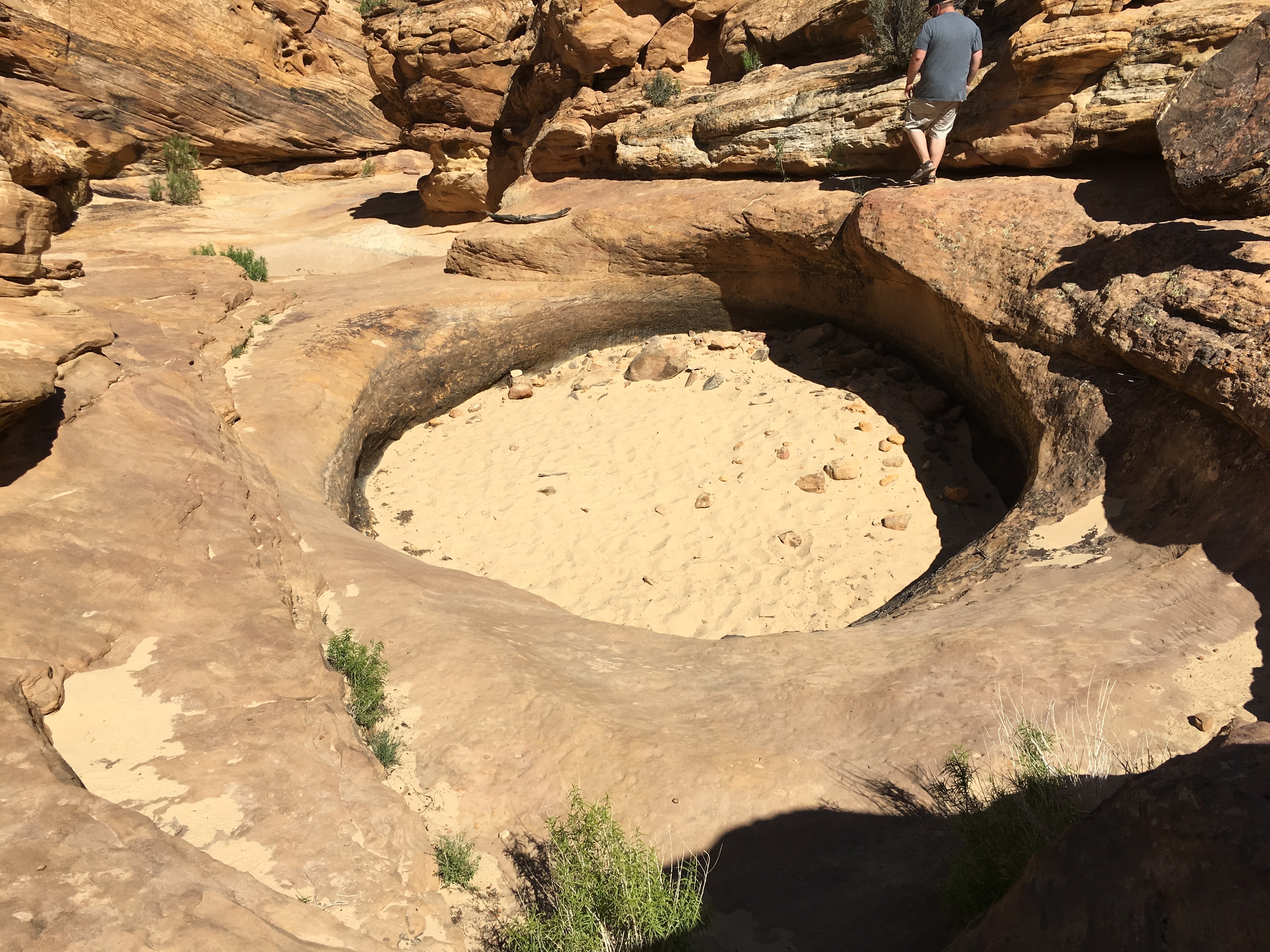
The tanks were almost completely dry when I was there. Eventually I and some other hikers located a tiny little bit of water, but it was not all that impressive I would suggest just turning around when you reach the sign for the tanks.
Sum Up
Capitol Gorge is an easy family friendly hike. Getting there is probably no problem if you have a high clearance vehicle. It isn’t the first hike I would recommend just because of the difficulty getting there, but if you have time and the right vehicle I would say go for it. For best results hike in the morning or the evening when the canyon will be mostly in shade.
